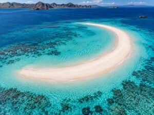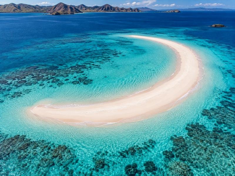
We get why you’re looking up Taka Makassar Google maps before booking a boat. In photos, there’s barely enough sand to put a towel down, yet somehow it’s the place you keep coming back to while planning your Komodo trip. Where exactly is it? And can you actually get off the boat there?
You’ll find Taka Makassar in the Komodo National Park area, offshore from Labuan Bajo. Getting there means joining a boat trip. We’d save the location for planning, but the crew decides how to approach it once they’re out on the water.
No road leads to this beach.
What your Taka Makassar Google maps search tells you
We’d search for “Taka Makassar” and zoom out before doing anything else. You want the sandbank in the Komodo area, with Labuan Bajo on nearby Flores as your departure base. A result pointing to Makassar city on Sulawesi would send your holiday planning in quite the wrong direction.
Easy mistake. Big detour.
Once you’ve found the right area, satellite view helps explain the appeal. Pale sand sits inside a patch of lighter water, with deeper blue beyond it. We’d happily spend a few minutes looking at that ourselves. We’d save the Taka Makassar Google maps pin for later.
But satellite imagery isn’t showing today’s tide. Neither are the photographs other visitors have uploaded, however recent the review might be. If the listing leaves you unsure, sharing the pin with our team is a perfectly reasonable thing to do before booking.
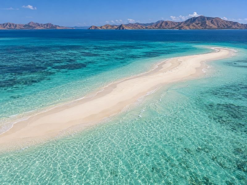
There’s less beach than you might expect
That’s part of why we like it. Taka Makassar is a sandbank, so the amount of exposed sand changes with the water level. We’d arrive curious about what it looks like that day, without expecting an exact copy of somebody else’s drone shot.
The tide gets a vote.
We’d plan a visit to Taka Makassar Beach as a pause during a boat trip, with time to enjoy the setting if access is suitable. It isn’t somewhere we’d suggest settling in for a whole afternoon under a beach umbrella.
Lower water can reveal more sand. Even so, we’d hesitate to choose a package just because somebody has promised the ideal tide at an exact arrival time, since the crew has the rest of the route to consider too.
The boat trip is the bigger decision
Finding the sandbank takes a moment. Choosing how you’d like to spend the day takes a little more thought, and we’d start there before getting too attached to any single stop.
Are you sleeping aboard?
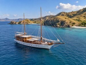
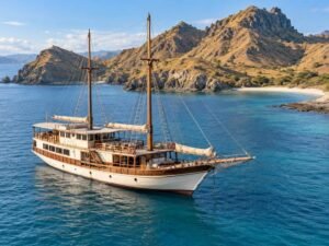
If that sounds exciting, an open trip gives you a shared sailing experience with other travelers. We’d suggest thinking about cabin arrangements early, especially if you’re traveling as a couple and have a particular idea of privacy.
A one-day speedboat trip makes more sense for some guests. You return to accommodation on land, which can be appealing if your visit is short or you simply prefer a hotel bed after a day at sea.
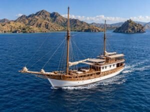
For a family or a group of friends, we’d also talk through a Komodo private boat tour so you can explain how you want the trip to feel. More say in the proposed plan is useful, although weather restrictions still apply to a private boat.
We wouldn’t give you a crossing time based on the distance shown on your phone. The vessel and sea conditions affect it, and Taka Makassar may come after another stop on your itinerary.
We’d use Taka Makassar Google maps to picture the route.
A saved pin won’t show the landing
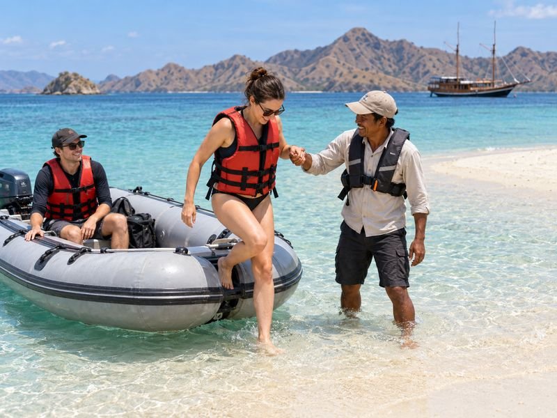
This is the bit we’d talk through if you’re bringing young children or someone who finds boat transfers awkward. Your Taka Makassar Google maps result identifies the place, but it doesn’t explain how you’ll get from your particular vessel onto the sand.
That deserves a proper conversation.
You can share your Taka Makassar Google maps pin with us.
Depending on the boat and conditions, a smaller transfer boat may be involved. We’d want to hear about mobility concerns before a booking is settled, while there’s time to discuss whether the proposed arrangements suit your group.
We’d also separate visiting the sandbank from going snorkeling. They’re different activities, and neither clear water nor a shallow-looking patch tells you whether entering the sea is suitable at that moment.
For swimming, we’d follow the guide’s assessment and briefing. If you’re nervous in open water, saying so beforehand helps the team discuss realistic options with you.
What we’d want settled before departure
We’d first look at the actual package itinerary. Taka Makassar appearing in a destination guide doesn’t mean it’s included in every departure, and we’d hate for you to discover that misunderstanding at the harbour.
Then there’s life aboard.
On an overnight trip, we’d talk about the cabin offered and whether it has AC. On a day boat, we’d be more interested in the seating and shade, because those details shape the hours between the photographs.
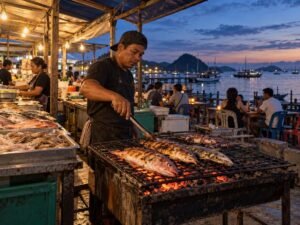
Meals and snorkeling equipment can be included, depending on the package. We’d confirm the facilities on the boat being offered to you, rather than assume every vessel has the same setup.
We’d pack sun protection and keep something dry within reach for the ride afterward. Little comforts earn their place in a bag once you’ve been in and out of the water.
Give the place a little breathing room
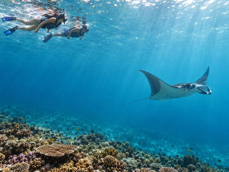
We’d love you to come home with good photos. We’d be less impressed by a photo that involved standing on coral or chasing a manta, and neither belongs in a responsible Komodo trip.
Wildlife sets its own schedule.
A manta sighting can’t be promised, even if Manta Point appears on the proposed route. We’d enjoy whatever turns up from an appropriate distance, following the guide’s instructions without trying to force a closer encounter.
The same care applies to the sandbank. We’d take our rubbish back aboard and leave the sand where it is, so the next boat finds the place worth visiting too.
Can I follow Google Maps all the way there?
No. We’d use taka makassar google maps for orientation, then arrange the departure meeting point with the operator. Marine navigation and the approach to the sandbank are the crew’s job.
Will there definitely be sand to walk on?
We wouldn’t promise it. The tide affects how much sand is exposed, so we’d leave room for the visit to look different from the photograph that first caught your attention.
Can the itinerary change after booking?
Yes. Weather or sea conditions can change the plan, as can harbourmaster directions and government rules. We’d explain that possibility before you commit, including on a private departure.
How do we plan a trip that suits us?
Send your travel dates through the official Sailing Labuan Bajo website and tell us who’s coming with you. Knowing whether you’re a couple hoping to sleep aboard or a family considering a day trip gives us a useful place to start.
We can work from there.
Ask us about available dates and boat options before booking. We’ll talk through the proposed itinerary and pickup point, along with weather considerations, so the package you choose fits how you actually want to travel.