I remember staring at my phone for a while, zooming in and out, wondering if my signal was bad.
I was searching for a Taka Makassar Island map, and honestly, it felt like the island was playing hide and seek.
One second it looked like a tiny curve in the sea.
The next, it disappeared completely.
That was my first clue that Taka Makassar is not a normal island. And if you’re planning to visit it from Labuan Bajo, understanding the Taka Makassar Island map is more important than people usually admit.
Not because it’s complicated.
But because it’s misleading.
So Where Is Taka Makassar Actually Located?
On any Taka Makassar Island map, you’ll find it inside Komodo National Park, Indonesia. Somewhere between Komodo Island, Manta Point, and Pink Beach.
That’s the official answer.
The real answer?
It’s floating in the middle of the sea like it doesn’t fully belong anywhere.
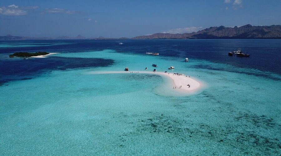
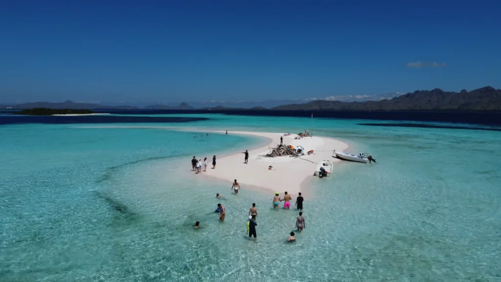
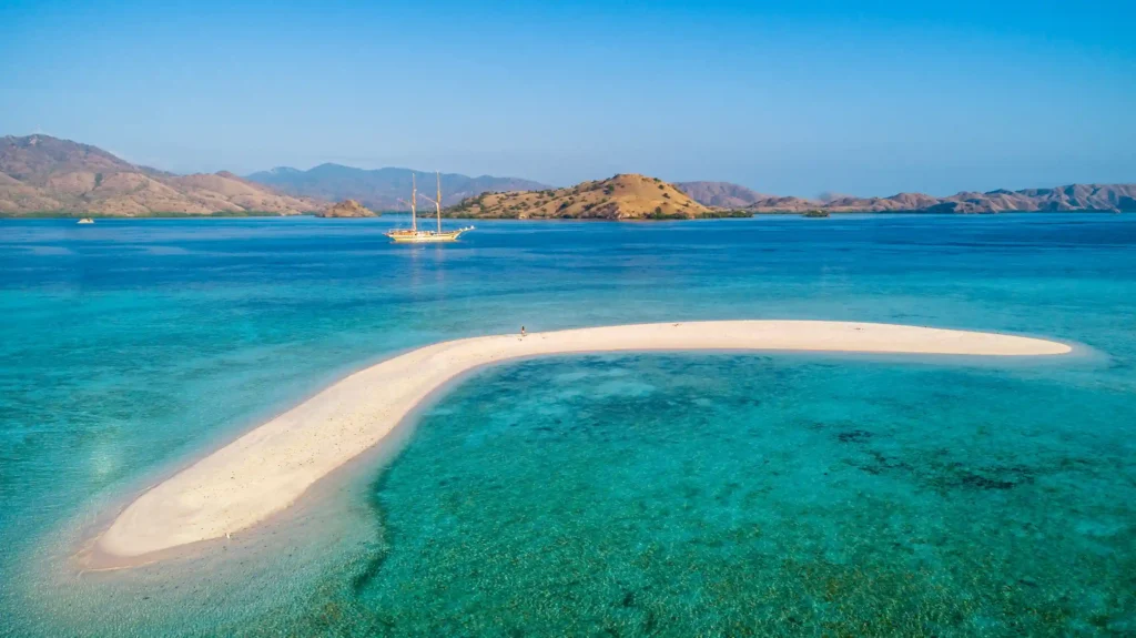
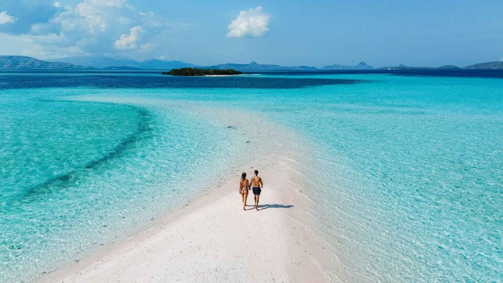
Taka Makassar is a sandbar. No trees. No shade. No buildings. At low tide, it shows up proudly, bright white against electric-blue water. At high tide, it shrinks. Sometimes it almost vanishes.
Same coordinates. Same map. Totally different reality.
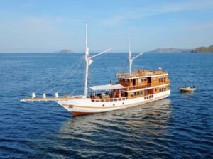
This is why most travelers never go there alone. You reach it through Sailing Labuan Bajo, joining an open trip Labuan Bajo, or booking a guided boat trip to Taka Makassar.
Why the Taka Makassar Island Map Can Be Confusing
Here’s the thing.
Maps are static.
Taka Makassar is not.
If you rely only on a digital Taka Makassar Island map, you might assume it’s always visible. Always accessible. Always waiting.
It’s not.
Captains and local guides don’t just look at maps. They read tides, currents, wind direction, and time of day. The map gives them the “where.” Experience tells them the “when.”
I once arrived just as the tide was pulling back. The sand slowly appeared, like someone lifting a curtain. No app can show you that moment.
Sailing Routes That Include Taka Makassar
Most boat trip to Taka Makassar routes start from Labuan Bajo harbor. That part is clear on every Taka Makassar Island map.
What isn’t obvious is the order.
Usually, boats won’t go straight there. Instead, the journey flows naturally:
Padar Island first.
Komodo Island or Pink Beach after that.
Then Manta Point.
And finally, Taka Makassar.
When you look at the Taka Makassar Island map after experiencing the trip, it suddenly makes sense. The route avoids rough currents and uses daylight wisely.
Especially for open trip Labuan Bajo, timing is everything. You’re sharing the boat, the schedule, the sea.
Open Trip or Private Trip? The Map Doesn’t Change, the Experience Does
From a purely geographic perspective, the Taka Makassar Island map is the same for everyone.
But how you experience it? That depends.
An open trip Labuan Bajo follows a fixed rhythm. Shorter stops. Shared excitement. Less waiting around. You arrive, take it in, move on.
A private sailing trip feels slower. You linger. You sit. You watch the water change color. The map stays the same, but time stretches.
Neither is better. Just different.
The Scale Problem: Why the Island Feels Bigger Than It Looks
On the Taka Makassar Island map, the island looks almost insignificant.
A dot. A curve. Easy to miss.
But standing there?
It feels wide. Open. Endless.
There’s no visual clutter. No landmarks. Just sand and sea. Your brain fills the space differently. Distance feels longer. Silence feels louder.
I walked from one end to the other in minutes, yet the memory of that place stays far longer than visits to much larger islands.
Funny how that works.
Mistakes People Make When Reading the Taka Makassar Island Map
A few assumptions pop up again and again.
People think:
- They can visit anytime
- The island is always above water
- It’s close enough for a quick detour
The Taka Makassar Island map doesn’t warn you about tides or weather shifts. That’s why guides matter more than coordinates.
A good boat trip to Taka Makassar isn’t about speed. It’s about timing.
Planning With the Taka Makassar Island Map (Realistically)
If you’re planning your Komodo trip, use the Taka Makassar Island map as a reference, not a promise.
It helps you understand:
- How far Labuan Bajo really is
- Why sailing trips take a full day or more
- Why Taka Makassar is rarely the first stop
Multi-day Sailing Labuan Bajo trips let the map breathe. You stop rushing from point to point. The journey stops feeling like logistics and starts feeling like travel.
That shift matters.
Why People Remember Taka Makassar So Clearly
There are no cafés to remember.
No hotels.
No signs.
Just a thin stretch of sand, surrounded by shallow water that reflects the sky.
Maybe that’s why the Taka Makassar Island map sticks in people’s minds. Not because of what it shows—but because of what it can’t.
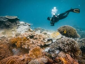
No map captures stillness. Or salt on your skin. Or the way manta rays move like shadows beneath the surface.
Final Thoughts on the Taka Makassar Island Map
Looking up a Taka Makassar Island map is the logical first step. It tells you where the island sits inside Komodo National Park and why every Sailing Labuan Bajo route passes through that area.
It explains why most travelers join an open trip Labuan Bajo or book a guided boat trip to Taka Makassar instead of trying to plan it themselves.
But once you’re there, the map becomes irrelevant.
Because some places are better experienced than understood.
And Taka Makassar is one of them.